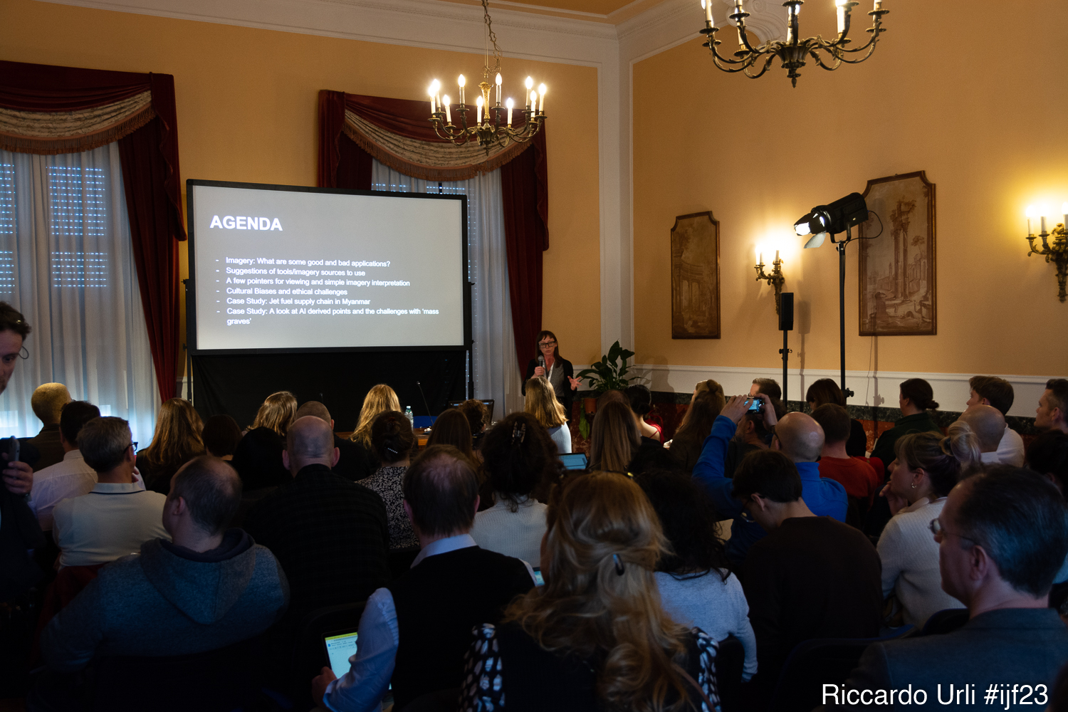


This workshop is an introduction to the use of satellite imagery for crisis reporting and beyond. Working with emblematic case studies, such as Amnesty’s investigation into the supply chain of aviation fuel in Myanmar, we will cover the basics of satellite imagery including availability of satellite imagery and other geo-spatial data, investigatory techniques and main tools to boost investigative capacity in your newsroom.
Organised in association with Citizen Evidence Lab Amnesty International.